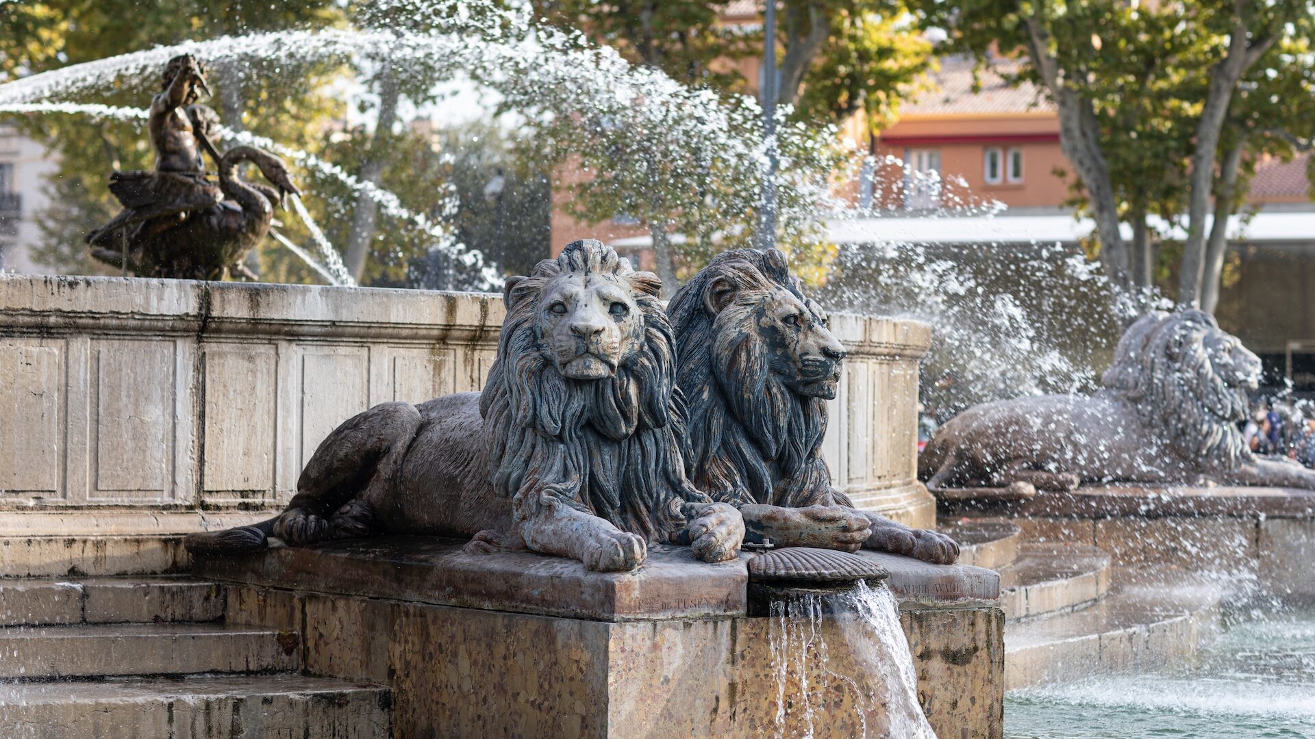
Trevaresse - St Cannat, Fontaine de Doudonne
Contact
For information
General information
Opening times and Prices
All year round.
Prices
Free access.
Guidebook with maps/step-by-step
1. Leave the car park on the left, avenue Victor Hugo (D18). Pass a wash house (on the right), the Place Gambetta (Fountain) and the Place de la République. Cross the avenue Camille Pelletan (D7N) with care and at a pedestrian crossing. Turn right for 100 m. then left onto Avenue Paul Lafargue. Pass in front of the 17th century chapel of Saint-Cannat, cross Avenue Jean Moulin, the small road runs alongside housing estates before reaching a junction.
2. Turn left onto the Chemin du Puy (tarmac), which runs through farmland and a few isolated houses. At the end of the road, continue on a dirt track, past a shed. The path rises gently, turns left, crosses a private property, passes beehives (for your safety: don't disturb them!) and the Barounette water reserve (Société du Canal de Provence). Continue on the paved path for 50m.
3. Turn left, onto the ridges, the path runs alongside vineyards, the view extends to the Luberon, then further on to Saint-Cannat. Go past a large field of rosemary, along the fence of the Etape property.
At an intersection of paths (the fence turns right).
4. Go down to the left, the path crosses a hillside and 200 m further on, fork to the right, the path goes down into the woods, along a low wall, arrives on a track. Take it to the right, along a fence until you reach an intersection.
5. Go left, along the terraced vineyards and olive trees, turn left at the end of the olive field (access to a borie by going up to the left on the plateau). Otherwise, turn left along an old canal, at the edge of a wood to reach the intersection. Follow the canal to the right (sunken path), take a path to the right and further to the left between wooden fences to find the canal again.
6. You can reduce the length of the route by 4km by taking the alternative route from here. Alternatively, go up to the right, further left to access the sports course, the Doudonne fountain, and the picnic area. Continue up to the ridge - information panel for the town of Saint Cannat.
7. Turn left to follow the small road that leads to the D18.
8. Follow it to the right and then cross it and follow it for 30 m.
9. Turn left onto a path that runs along hillsides and vineyards in a beautiful, open landscape with views of the coastline. The path turns south-west and becomes a small road.
10. Go right towards the north, towards a hut, the vegetation is short. The path then turns west. After a house, turn left to join the small road. Pass a stud farm before a slope. After this last climb, you will see the village. Follow the small road to the right, along the cypress hedges it leads to a housing estate and communal facilities (gymnasium, schools...).
11. Turn left to find the D18 and the Avenue Jules Guesde. Cross the D7N on the pedestrian crossing on the right and join the car park by the Place Gambetta, the Bd Marcel Parraud and the Chemin de la Lecque.
Données du circuit
Données du circuit
- Distance : 13.9km
- Durée estimée : 03h30
- Dénivelé : 240m
- Dénivelé positif : 240m
- Dénivelé négatif : 240m
- Balisage : Jaune
Salles de réunion
Show map
Trevaresse - St Cannat, Fontaine de Doudonne
Parking du stadeAvenue Victor Hugo - D18
13760 Saint-Cannat


